|
|
|||||||||||||||||||||||||||||||||||||||||||||||
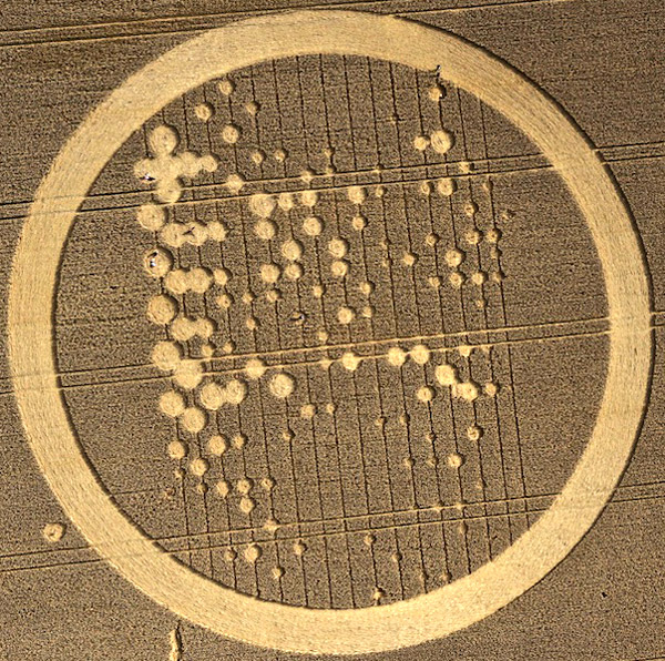
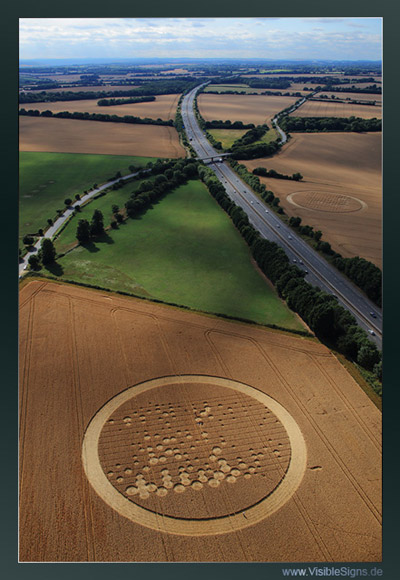
Images John Montgomery Copyright 2010
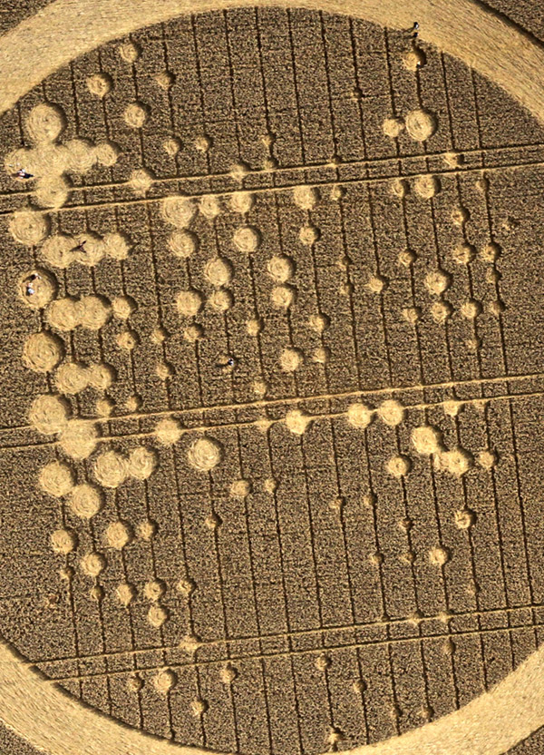
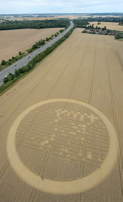
Top one South of M4 Images Madelien Scholten Copyright 2010
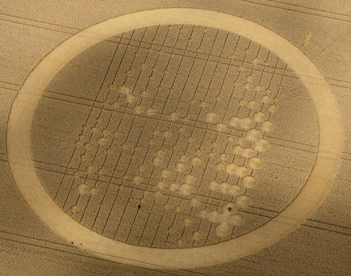
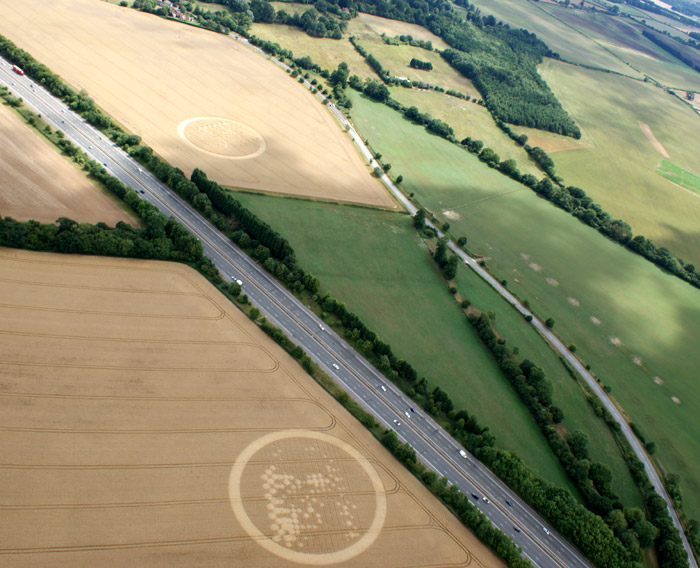
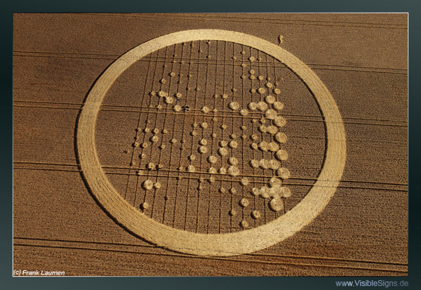
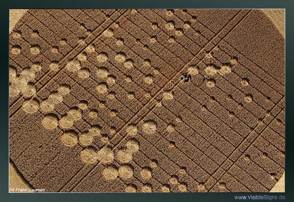
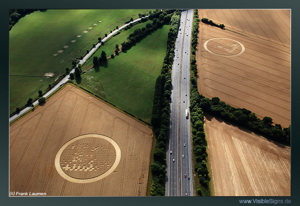
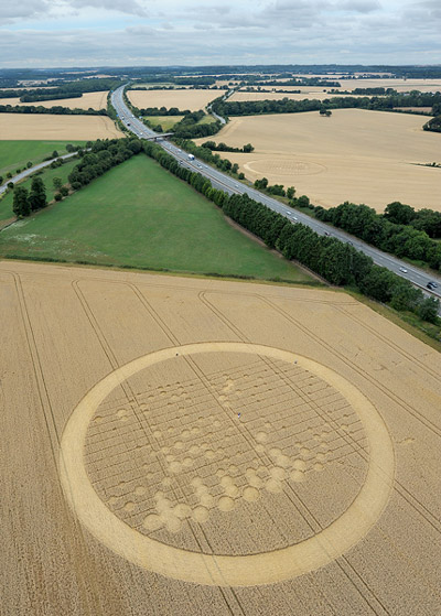
Images Frank Laumen Copyright 2010
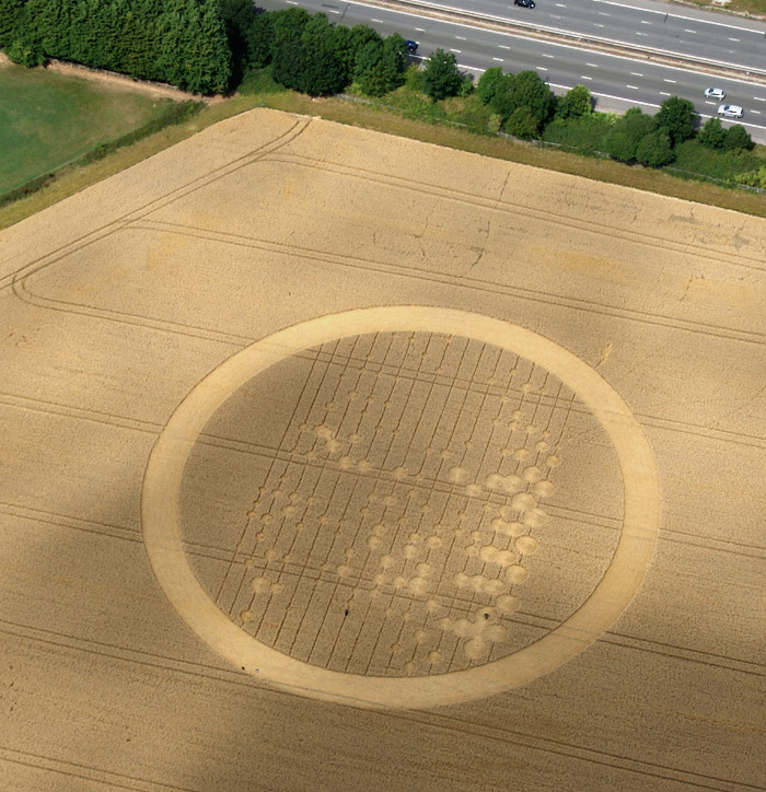
Image Olivier Morel Copyright 2010
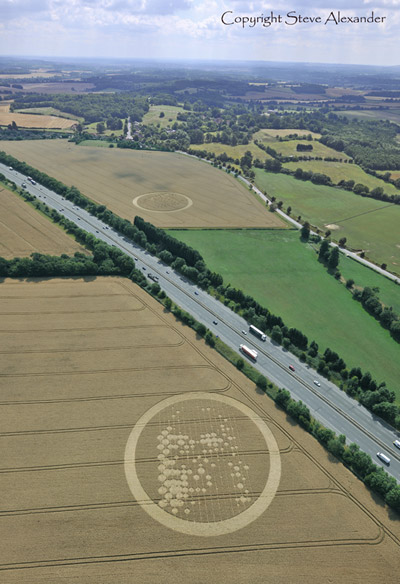
Image Steve Alexander Copyright 2010
|
|
||||||||||||||||||||||||||||||||||||||||||||||
|
|
|
||||||||||||||||||||||||||||||||||||||||||||||
|
|
|||||||||||||||||||||||||||||||||||||||||||||||
Images John Montgomery Copyright 2010
Top one South of M4 Images Madelien Scholten Copyright 2010
Images Frank Laumen Copyright 2010
Image Olivier Morel Copyright 2010
Image Steve Alexander Copyright 2010
|
|
||||||||||||||||||||||||||||||||||||||||||||||
|
|
|
||||||||||||||||||||||||||||||||||||||||||||||