|
|
||||||||||||||||||||
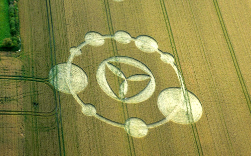
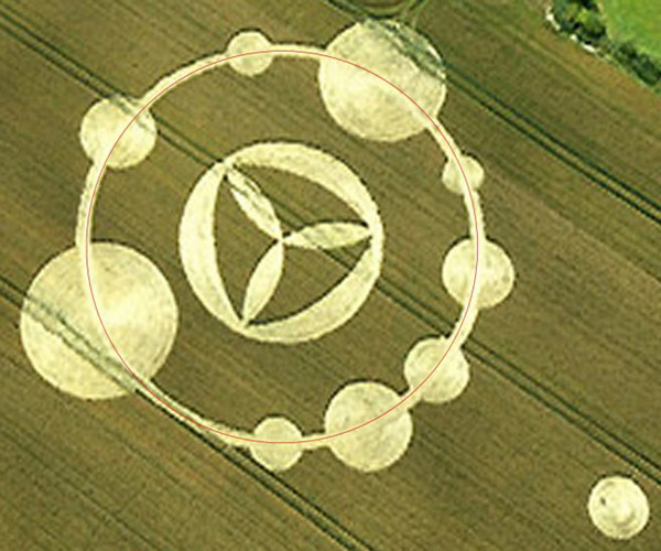
Image Terje Toftenes Copyright 2007
Image Terje Toftenes Copyright 2007
Image Terje Toftenes Copyright 2007
|
|
|||||||||||||||||||
|
|
|
|||||||||||||||||||
|
|
||||||||||||||||||||
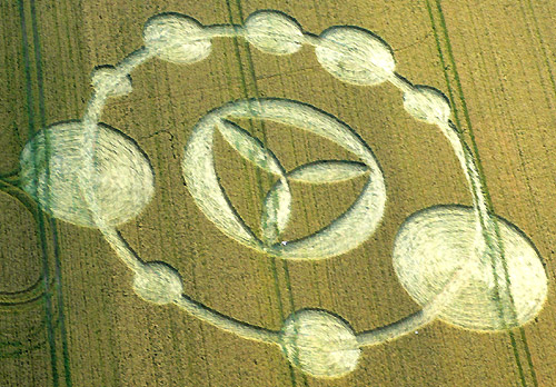
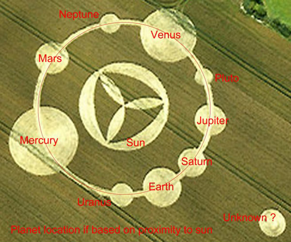
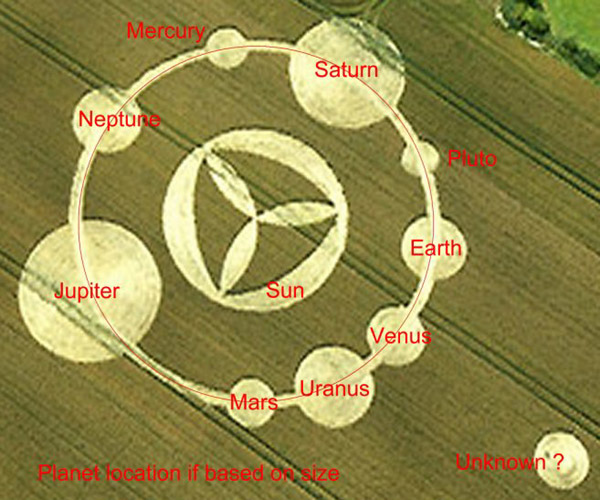
Image Terje Toftenes Copyright 2007
Image Terje Toftenes Copyright 2007
Image Terje Toftenes Copyright 2007
|
|
|||||||||||||||||||
|
|
|
|||||||||||||||||||