Click on thumbnails to enlarge
Click on thumbnails to enlarge
Click on thumbnails to enlarge
Click on thumbnails to enlarge
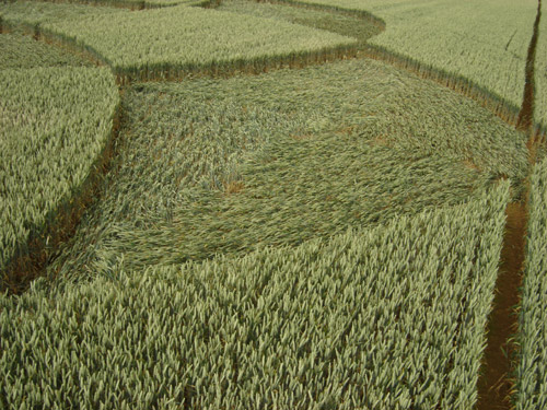
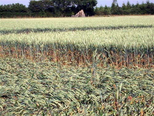
A rather confusion collection of pictures from The
Rollright Stones
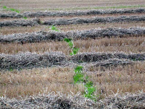
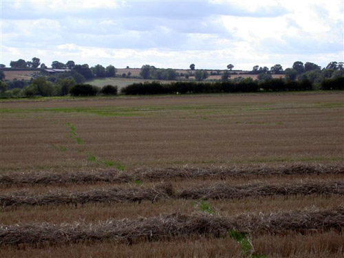
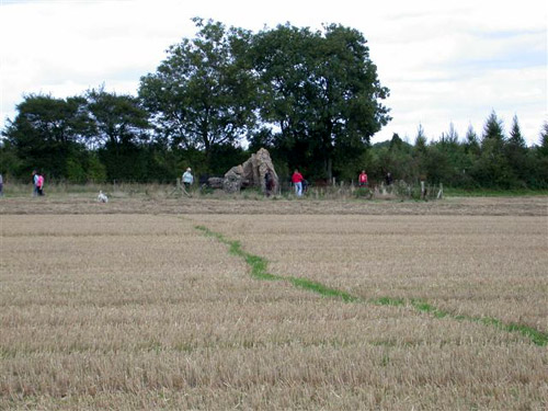
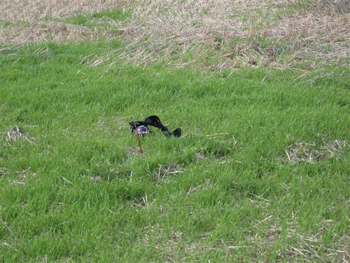
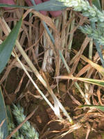
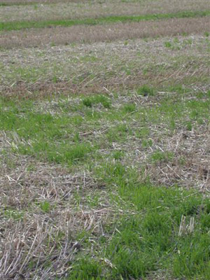
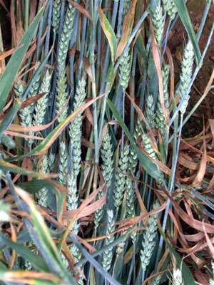
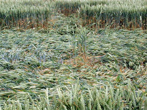
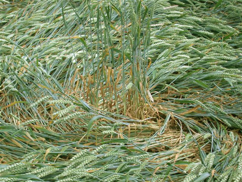
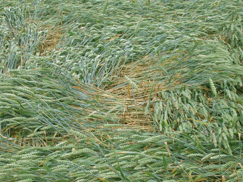
These pictures show the formation in grass when the initial
Report was wheat.
Images Suzi Copyright 2006
Images Kevin Copyright 2006
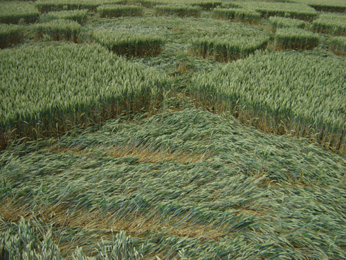
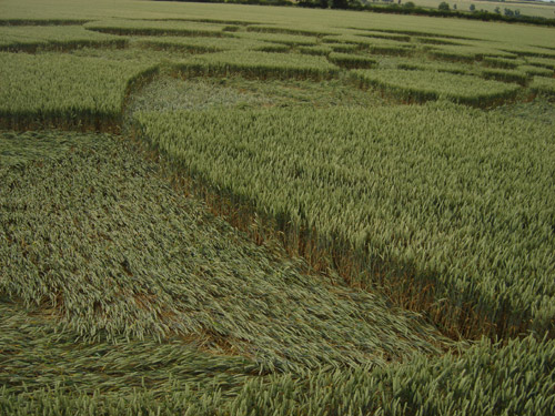
The strange thing is
when I took these photos yesterday, lots of people came and wandered
about , just the same as when the real crop circle was there? and
everybody was commenting how good it felt? The downed wheat is growing
really fast? If the plough keeps away a little longer , we may have the
return of the crop circle, but the other way around, I wonder if any
other sites are doing this?
Kevin
|
|


.JPG)
.JPG)
.JPG)
.JPG)
.JPG)
.JPG)
.JPG)
.JPG)
.JPG)
.JPG)
.JPG)
.JPG)