|
|
|
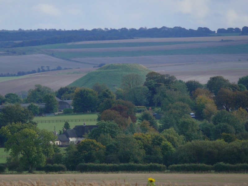
Windmill Hill, nr Avebury Trusloe,
Wiltshire. Reported 14th October.
Map Ref: SU085710
This Page
has been accessed

Updated Tuesday 16th October 2012 |
|
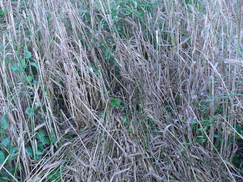

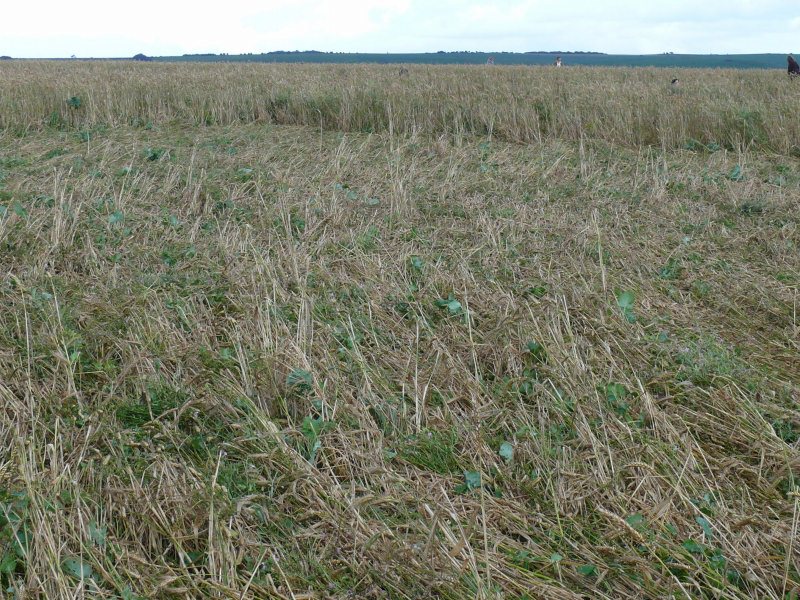
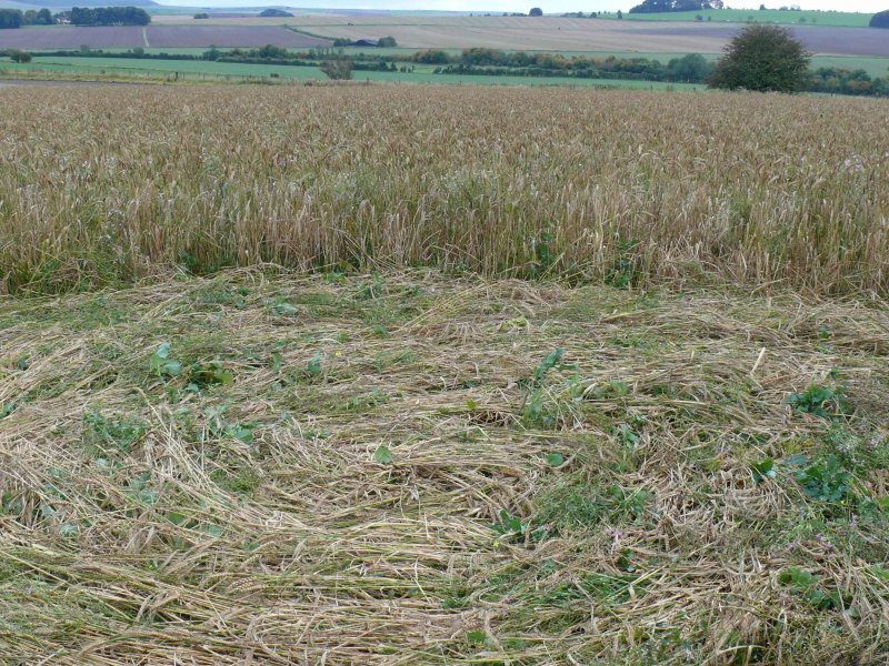
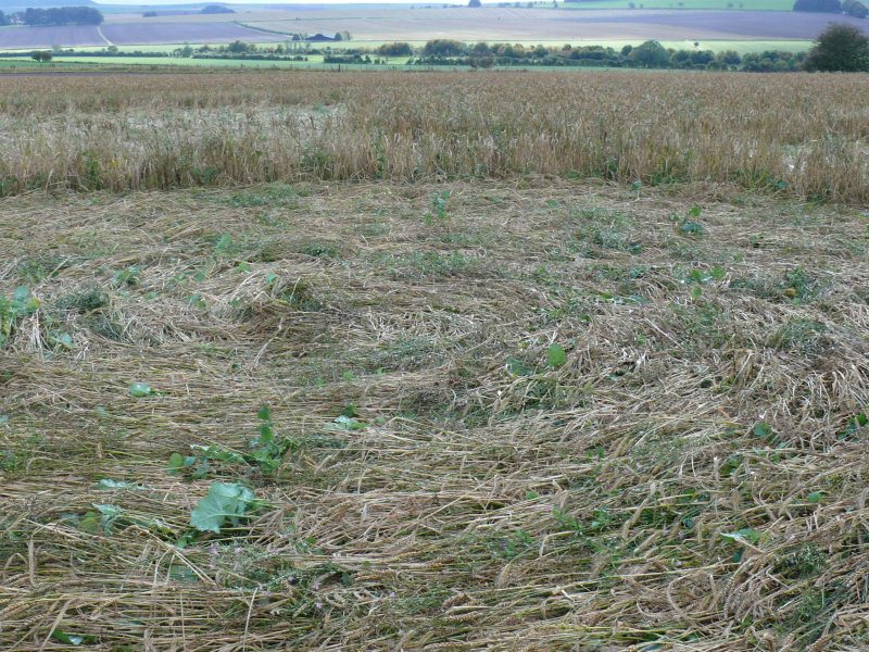
I visited Windmill Hill on the afternoon of 15th October, in between
some heavy rain showers. The location is as close as one can get to
the top of Windmill Hill on arable land and is no doubt within the
ancient Neolithic settlement site, now largely ploughed out, which
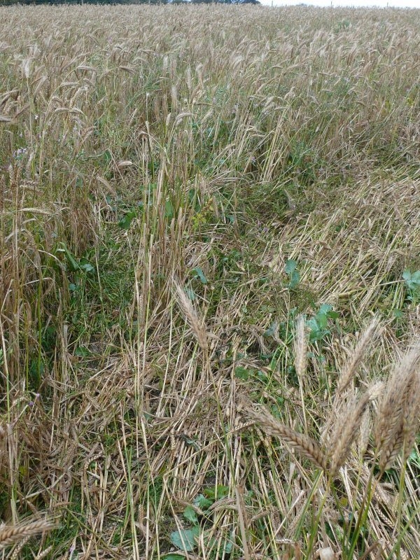
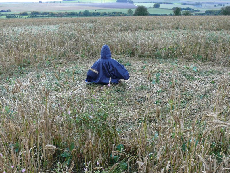
dates back at least 5,700 years. A small part of the field appears
to be under conversion to organic regime and is currently labelled
as conservation grade. This must be the only barley left standing in
Wiltshire, a month or more after the end of the wheat harvest even!
It has clearly not been sprayed as there are no tramlines, and the
weeds, or wildflowers, depending on your point of view, are thick on
the ground. It seems that the barley has suffered by the competition
and has neither grown strongly nor ripened properly, which is
presumably why the farmer has not bothered to harvest it. Lucky for
the wildlife, and for us crop circle followers who got an unexpected
late treat with this beautiful formation.
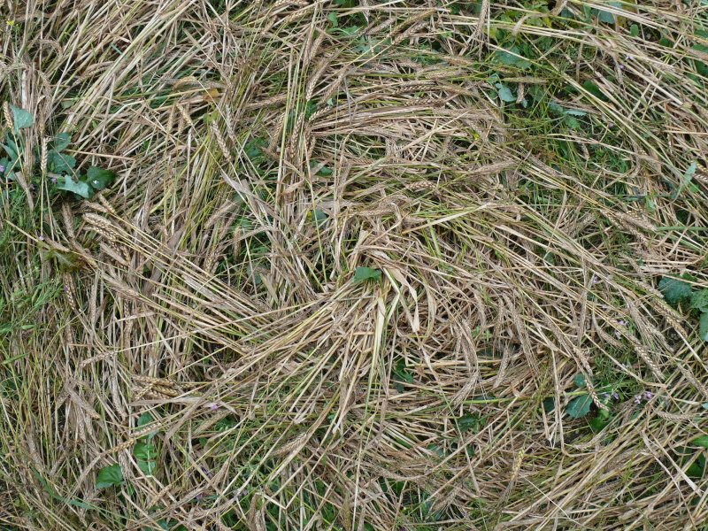
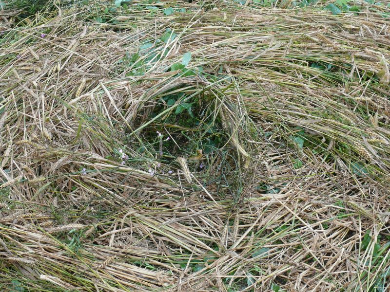
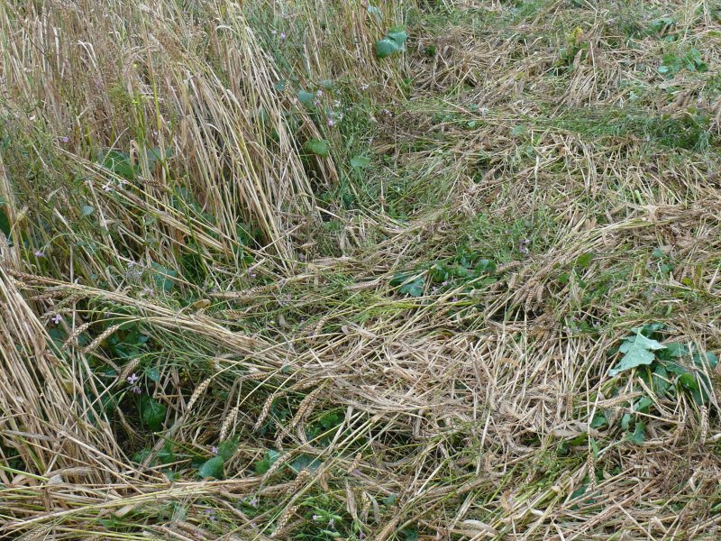
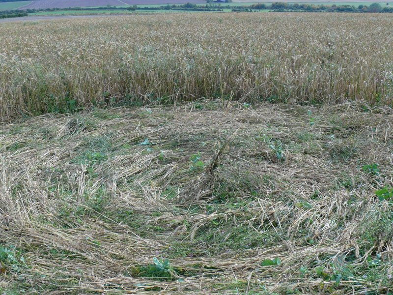
However, the patchy nature of the crop and the
heavy rain which has fallen mean that the formation is somewhat
messy on the ground, lacking the crisper lines we often associate
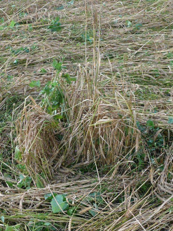
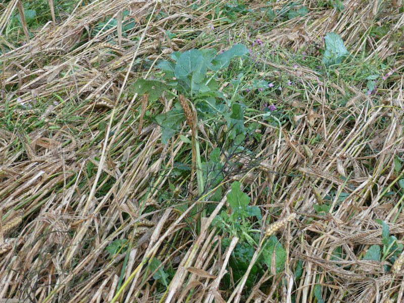
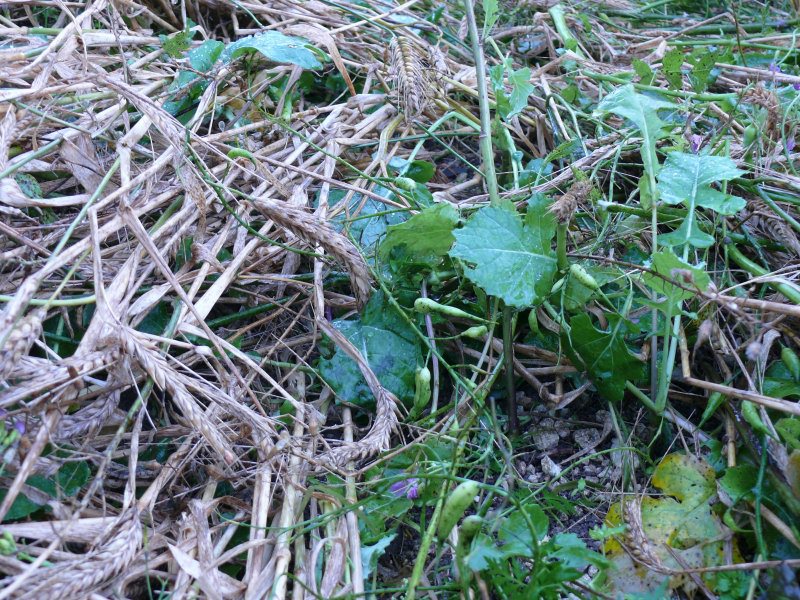
with formations in fully ripened corn. Some of the thicker weed
stems, especially the various brassicas, have shown themselves
resistant to the flattening force. There are also lots of stems of
upright barley scattered through the lay: no planks here, then! All
the usual features are present, with criss-crossing stalks in
places, 'swooshes' of half flattened corn into the corners, and
swirled centres, although I didn't see any especially pretty ones
(and they may already have been trampled or sat upon by 'meditators'). Worth
a visit for the stunning location and 360 degree views including
Silbury Hill and Avebury, and for the flowers, but I wouldn't have
appreciated the precise symmetry and the beautiful design without
the aerial photos.
P.S. I learn now that this field has actually
been deliberately sown with a mixture of plants to encourage
birds and wildlife. How wonderful that a landowner in this
intensively farmed area is taking this kind of initiative, it
gives me hope that farming practices will gradually shift away
from the ruthless monoculture of every last square metre of land
in the name of higher production and profits, towards a more
harmonious relationship with nature! Luckily the nesting season
is long since over and the seeds are not yet ready for any
winter feeding birds, so it seems that little disturbance to
wildlife will have been caused by a few visitors walking around
the already flattened crop, and there is no need to trample a
pathway in as the formation is right next to the edge of the
field.
Graham
|

CLICK HERE FOR THE LATEST CROP
CIRCLE CONNECTOR DVD

Discuss this circle on our Facebook
Crop Circles-UFO's-Ancient Mysteries-Scientific Speculations
Images Graham Copyright 2012

FOR VISITING THE CROP
CIRCLES.
|
 |