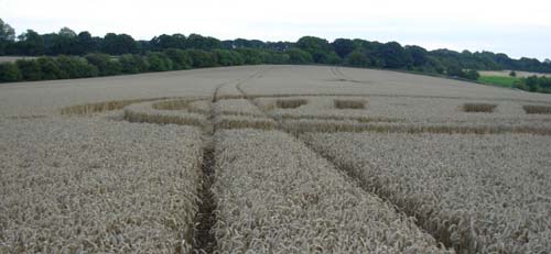
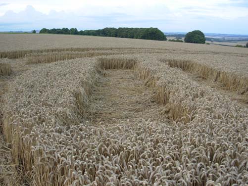
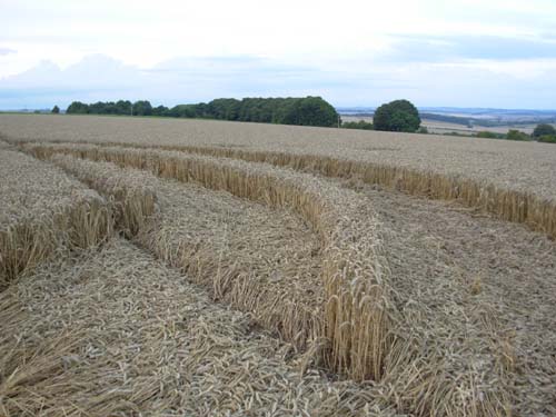
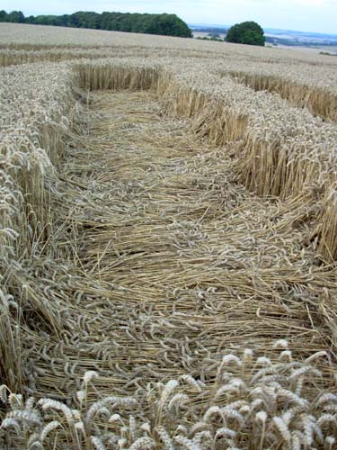
I found the formation that people have been
reporting. It is in the same field about 100 m north of the Cross
formation and one tramline east of the one through the centre of the
cross. The map reference is approx SU121655. You may find this
appears to be south of the location you have for the Cross formation
but I think you have the map reference for that about 400m north of
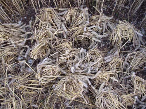
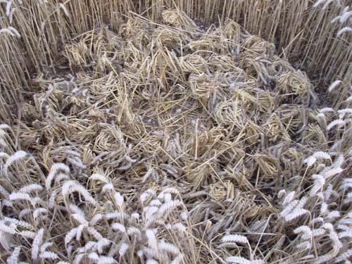
its actual location. I have attached a selection of ground shots,
but the quality is not too good because it was too dark when I got
there. I am going to try and get aerial photos first thing tomorrow
morning.