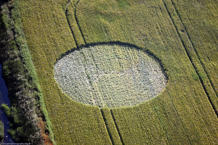
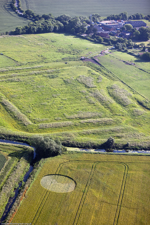
LOCATION OF CROP CIRCLE: Field next to iron age and
Roman earthworks near village of Hawton, near Newark
Nottinghamshire.
The
earthworks are known (locally at least) as the
Hawton Redoubt. This is an English Civil War site
but I believe that there is evidence that there have
been both iron-age and Roman sites there previously.
Earthworks are one thing we're not short of around
Newark with it being a major site in the Civil War
with Charles 1st being there. (and Cromwell).
OS Map Reference: gps 53"3.08N 0"49.85W
Type of Crop: Wheat or barley
Description of Crop Circle: Plain circle
|