|
|
|
FIELD REPORTS
This Page
has been accessed

Updated Tuesday 30th June 2009 |
|
|
Click on Thumbnails to enlarge
Images Robert Armstrong Copyright 2009
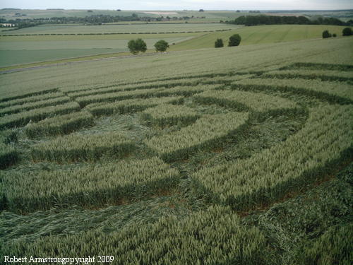
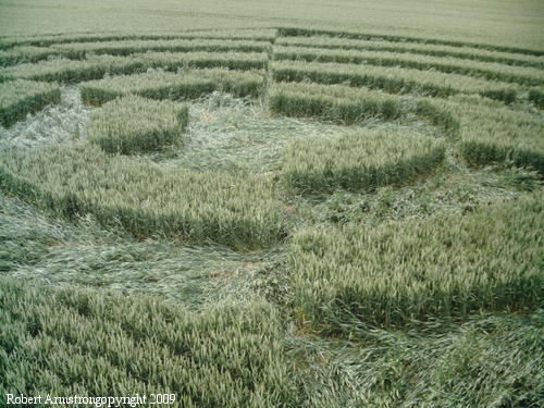
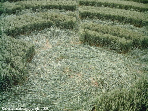
I visited the Knoll Down formation,
found in one of the many glorious landscapes we're lucky
to have in crop circle country, in the mid-evening of
the 28th and found the flattening of the young wheat
crop in an early recovery stage. The land having been
recently water and sunned, along with the breezy
hillside location, probably helped.
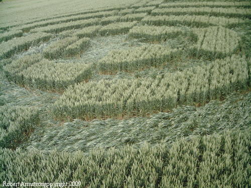
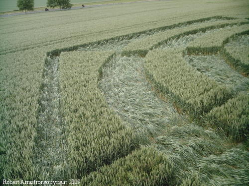
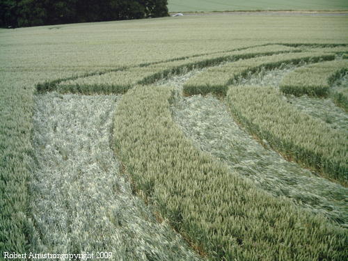
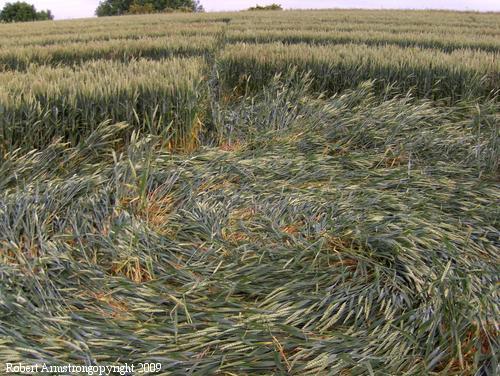
On my flying visit to the second
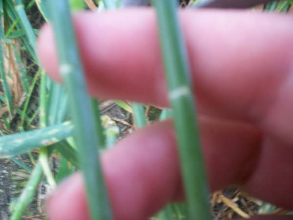
formation at Knoll Down, I found no astounding energies
or warmth around the splayed centre and showed signs of
some physical damage in the nature of some of the bends.
Robert Armstrong
|
|
Click on Thumbnails to enlarge
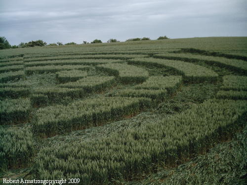
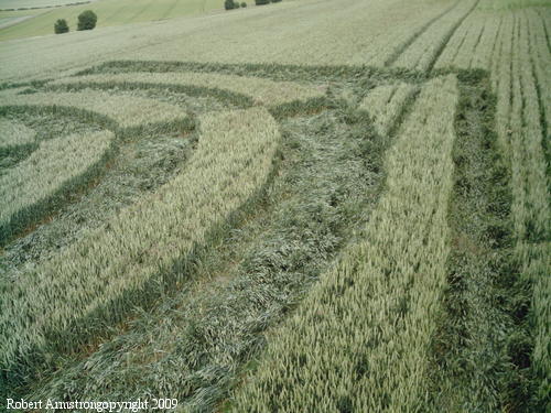
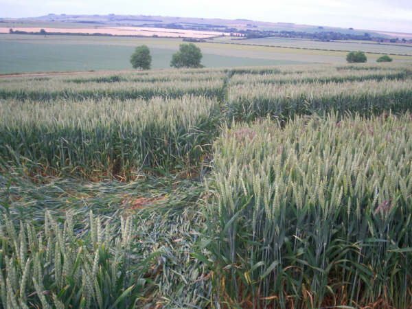
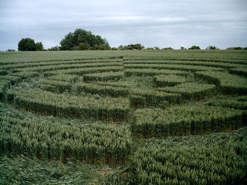
So, I went into Knoll Down yesterday (sun 28th
June), again without seeing any prior images. First impressions
are:~ Completed at high speed, with crop flowing clockwise. Although
quite small compared to the recent ones around Alton, It is on quite
a steep incline, so a tadge difficult to figure. As most of the
flattened wheat is angled at approx 70 degrees, it is easy to see
that not many visitors have been there before me, due to the obvious
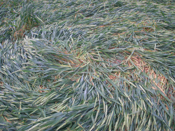
single (careful) trail through it. I found quite a few chip marks in
various places, mainly at directional corner changes. On the centre
uptight swirl, I found a muddy boot print on the uptight crop
leaves. From this formation, the new one across the road, in the
field next to flight centre, is clearly visible.
JIC |
|
 |