|
Click on thumbnails to enlarge
This formation is on a heavily
staffed and very secure large piece of private land, 3 estate
managers later, permission was given to be on the land.Walking to a
formation on this estate, felt very different from meandering
elsewhere...
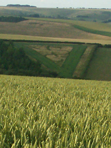
On the approach down the tram-lines, the very first thing that hit
me, was the well tended grassy pyramid land mark, with insignia on
it, opposite the formation.
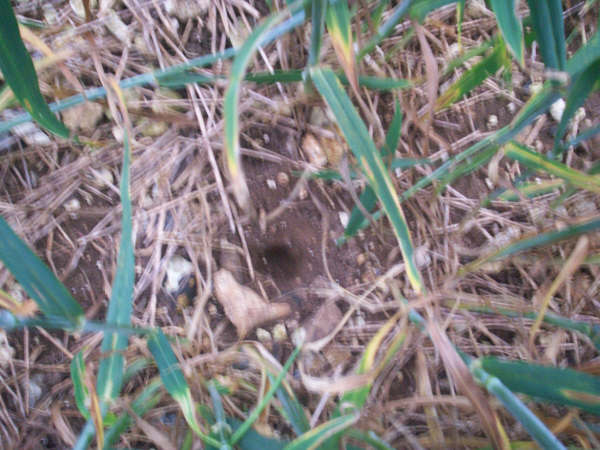
The impression I have, is that there has been little foot traffic
here, apart from some muddy boot prints around the spiral,
consistent with an early morning visitor.
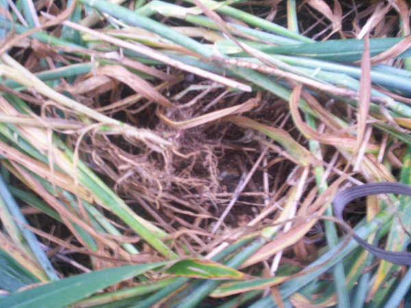
Also, at the centre of the spiral, there is a small hole, perhaps
some-one has inserted a camera pole, for video or pole shots?
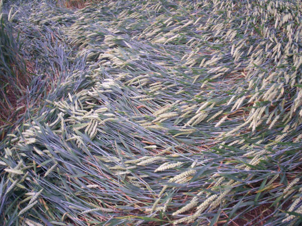
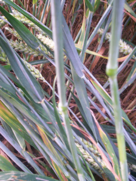
The lay of the wheat is very clean and tidy, especially in the
perceived ying-yang sections, where the crop has effortless
directional change, forming a neat banked up wave of peaked crop.
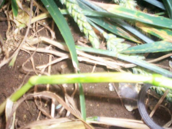
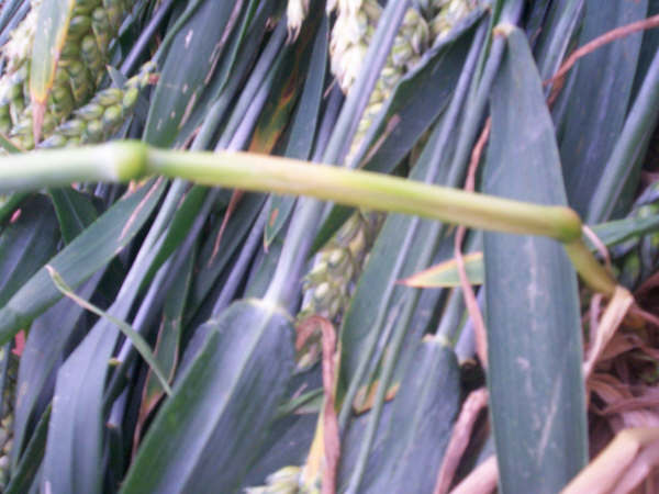
Mainly bent at the first node, any remaining standing crop is
smoothly curved (not bent) at approx 60 degree angle.
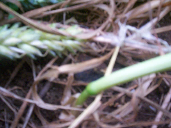
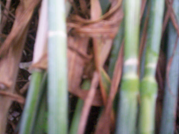
As one of my shots show, I have rubbed the dusty bloom of a stem,
this is present throughout.
At one directional change, there is a row of wheat, bearing white
indention chip marks all at the same level, though when I examined
matching points, I didn’t see any more.
The centre swirl of the top right hand pod is uprooted, with little
evidence of previous visitors.
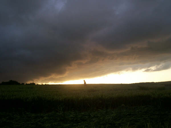
This glyph is on a steep hill, so may affect appearance of aerial
shots?
So, all in all a pretty neat formation, the mystery enhanced by the
unique location.
JIC (JANE) RAINBOWS
|