The Sanctuary, nr East Kennett, Wiltshire. Reported 12th September.
Map Ref: SU121680
This Page has been accessed
Updated Tuesday 6th November 2007
All Images Charles Mallett Copyright 2007
Image Russell Stannard Copyright 2007
FOR VISITING THE CROP CIRCLES.
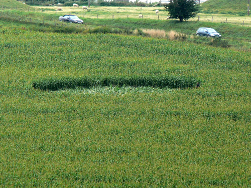
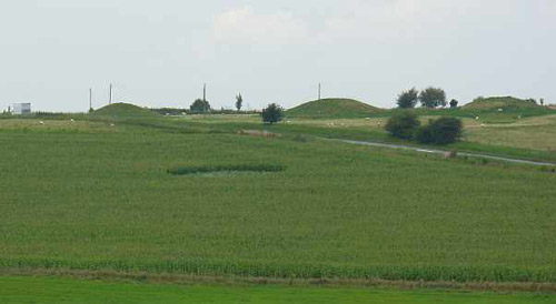
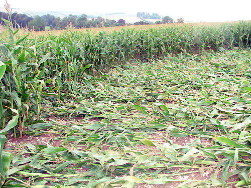
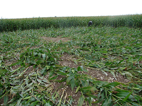
There is a simple circle that has appeared within the past few days near the Sanctuary. Crop: Maize Type: Circle Map ref:SU121680 It is visible from the A4, but is is best viewed from the road going from West Overton to East Kennett. Russell Stannard
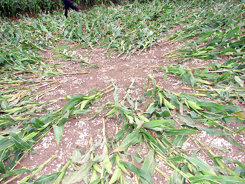
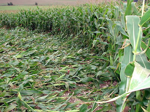
60ft diameter. Looks like a bomb went off in this one!
Nancy Talbot and Mark Archambault investigated a corn field near Noyan, Quebec in 2004
BACK
Mark Fussell & Stuart Dike