The meaning of
Milbourne was a Mill Stream.
Malmesbury was a stronghold and was
recoded in the
Domesday Book 1086AD.
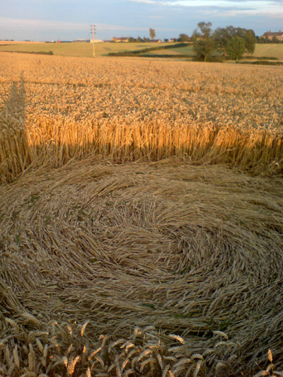
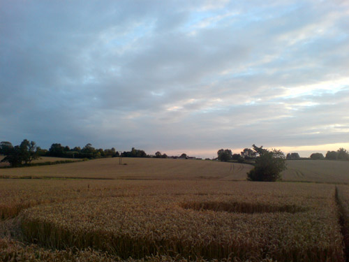
I eventually made it back to find a classic
circle and ring - photos attached.
I would say I was one of very few visitors
here. Totally undamaged, very few broken stalks all neatly laid
clockwise.
Lovely location, very tranquil and far
removed from the crop circle frenzied circus. This was a really
lovely visit. Don't think it will be here long now the combines
were in a field about a mile down the road.
I was having a think about this circle,
I'm thinking that it could have come around the time of the
really heavy rains and floods, I've checked the gazette and
herald website and its showing mud mud mud for Womad! the
only footprints I saw were of birds, I think they must feed
on the heads of the crop but if this came amidst all the
rain and floods you would expect some traces up there!
Matt
FOR VISITING THE CROP
CIRCLES.
Image
Matt Copyright 2007
Image
Matt Copyright 2007
Image
Matt Copyright 2007
Image
Matt Copyright 2007
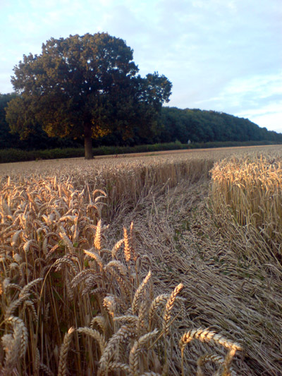
Location:
Just in-between Malmesbury and Charlton
Wilts visible as you drive down the B4040