|
|
|||||||||||||
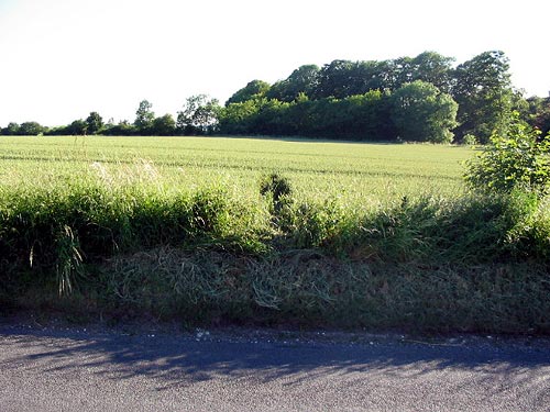
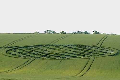
Details of formation continuing into the opposite field across road. Images Lucy Pringle Copyright 2005
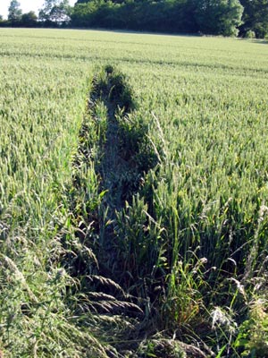
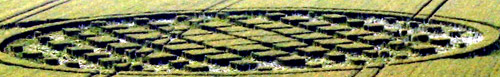
Stretched Image Laurence Winram Copyright 2005
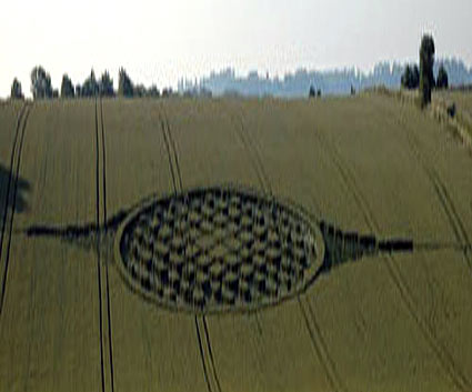
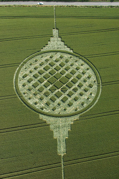
Image Nathan Blake Copyright 2005
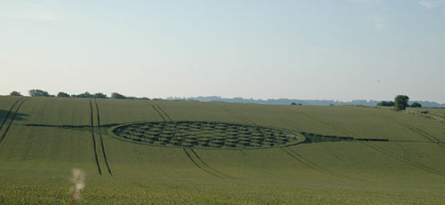
Images Herb P Miller Copyright 2005
|
|
||||||||||||
|
|
|
||||||||||||
|
|
|||||||||||||
Details of formation continuing into the opposite field across road. Images Lucy Pringle Copyright 2005
Stretched Image Laurence Winram Copyright 2005
Image Nathan Blake Copyright 2005
Images Herb P Miller Copyright 2005
|
|
||||||||||||
|
|
|
||||||||||||