2 miles
from junction 17 on M25 around Chalfont St Peter
Map:
Very
APPROX TQ0063490394
Crop:
Barley
Description:
At
least four circles branching off from possibly larger middle
circle. Spent an hour trying to locate field but failed. Easily
seen from M25.
Discovery:
10th July
Name:
Verity
Bulllock and Chris Turner
Status:
Waiting
for images and field report
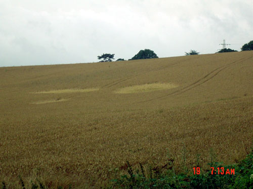
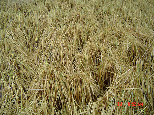
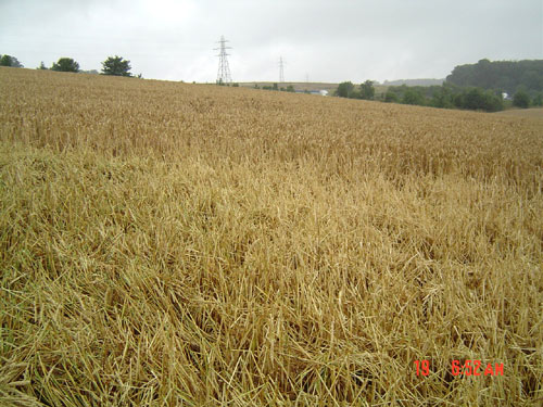
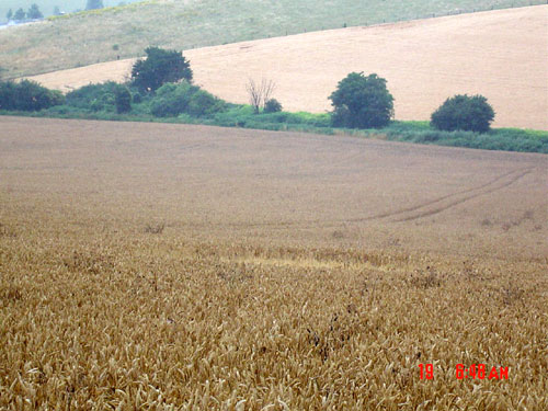
Location:
maple cross near M25 junction 17
Map:
TQ024929
Crop:
wheat
Description:
I believe these are the 'dumb bell' that Andrew King refers to.
there are in fact 5 'shapes' in the field, roughly circular or
elliptical but with an odd lay-bent over about o foot from the
ground in no real pattern discernible from ground
level-investigation hampered by the fact that the heavens chose to
open and dump a weeks worth of rain at the precise time of being in
the field! Not sure if a formation or some other phenomena-not like
the usual lodging either. No 'energy' felt either. Be interesting to
see from the air. Couldn't find the other one, crop has been cut
though.