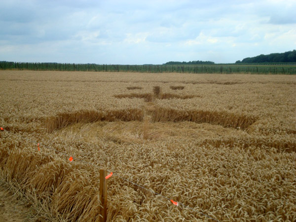
Batsheers, nr Oleye. Reported 29th June
Map Ref: HERE
This Page has been accessed
Updated Thursday 5th August 2010
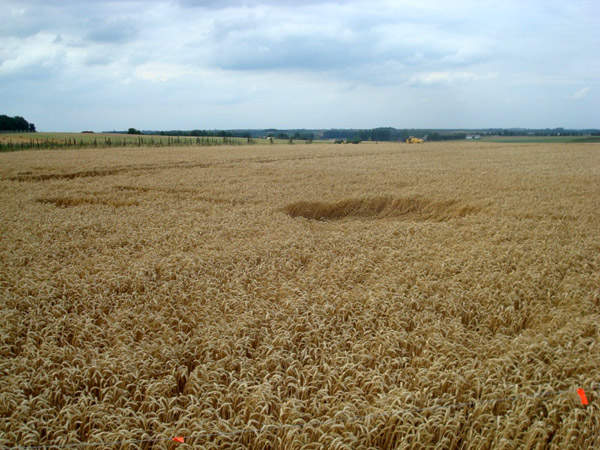
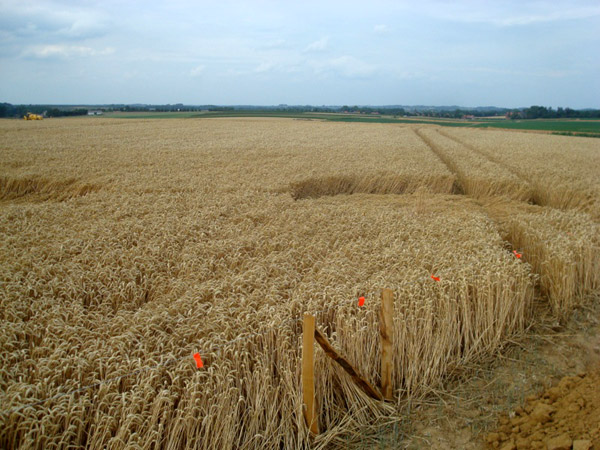
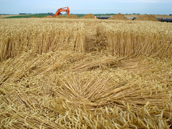
A crop circle was discovered on July 29 Oleye ( 50į43'25.90" N 5į16'47.96" E ) along the shipyard installations a gas line. Many testimonials attest to unexplained outages around the fields. Images taken 1st August 2010
Renaud Gelaesen
Images Renaud Gelaesen Copyright 2010
BACK
Mark Fussell & Stuart Dike