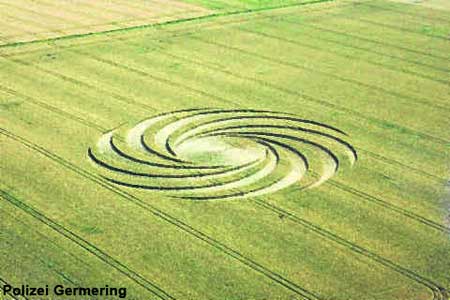
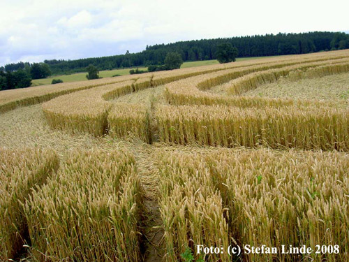
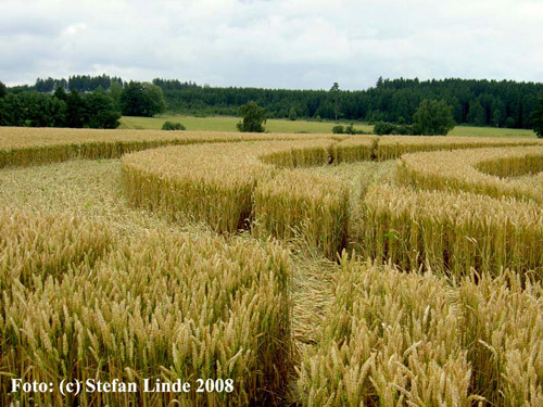
Please find attached some pictures and information about the
Alling cropc ircle in South Germany, Bayern. The original
Police-Photo was taken from a Police helicopter. Other
pictures are from Stefan Linde, the BR3-reporter of the
official local radio and TV station (video-Links see
below.)
Location: N:
48°08’16,41”; E: 11°19’06,48”
Next to the Parsbergstraße/Weiherstraße,
south-east of Alling, Landkreis Fürstenfeldbruck, Oberbayern,
Germany.
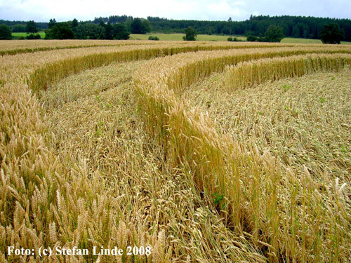
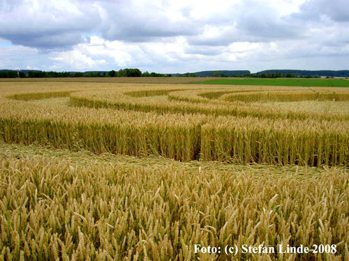
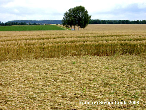
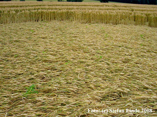
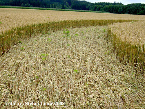
The circle has a
dimension of 70 meters in a wheat field.
It must have been
created in the days from 08JUL2008 to 11JUL2008.
The local Police is
still looking for the circle makers to pay € 600 EUR to the
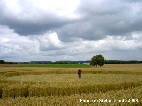
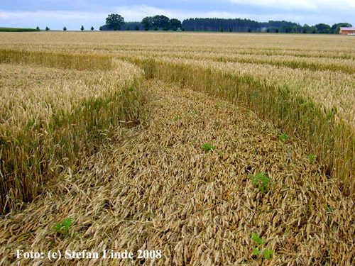
farmer. I went to the field
but is was harvested two days before on 07AUG2008.
I took some straw
for microscopy.
Best web-link,
source of the pictures of Stefan Linde:
http://www.fgk.org/?p=1625
There are some new
pictures on the page taken by Lars Uwe Ittig, FGK on
07AUG2008
I have posted the
video of a BR3-Bavarian TV report on youtube:
http://www.youtube.com/watch?v=gEjkay8JF7w
Original BR3-link of
the above movie:
http://www.br-online.de/bayerisches-fernsehen/quer/quer-kreise-kornfeld-ID1217008772736.xml
I am proud to have
my apartment in 3,4 kilometers away in Geisenbrunn.
The hill on which
the circle is on is the rest of an old glacier (Würmeiszeit)
and was early settled by the Celts. On the fields around
Germering and especially Holzhausen/Biburg there are many
“magical” Celtic forts “Keltenschanzen” more than 6000 years
old. The Romans were very
active too and there are the “roman streets” which are
straight and some roman castles and garrisons, villas etc.
can be found. In the Middle Ages
there was on 19SEP1422 the famous battle of Alling happening
on these fields.
http://de.wikipedia.org/wiki/Schlacht_bei_Alling
Nowadays the German
DLR Space control center is with a airborne some 6 km away
in Oberpfaffenhofen.
The film shows the
radiation instrument at 1,25 Gy- is this normal?
Joern Kimpel