|
|
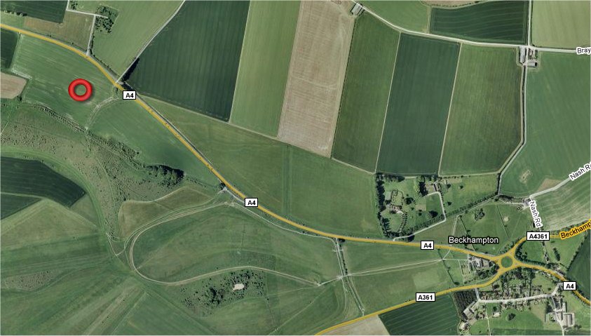
Knoll Down, nr Beckhampton, Wiltshire. Reported 28th
July.
Map Ref: MAP
Updated Monday 4th August 2008 |
|
| AERIAL SHOTS |
GROUND SHOTS |
DIAGRAMS |
FIELD REPORTS |
ARTICLES |

Image Nick Nicholson Copyright 2008


Click on Thumbnails to Enlarge
Images Stuart Dike Copyright 2008

Copyright -
www.temporarytemples.co.uk 2008
Image
Lucy
Pringle Copyright 2008

Image
Frank Laumen Copyright 2008
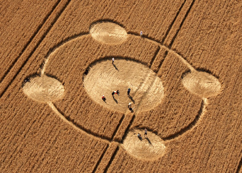
Image Gary King -
WCCSG Copyright 2008
http://www.kornkreise-forschung.de
Click on thumbnails to
enlarge
Images Craig Neville Copyright 2008
|
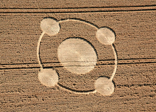
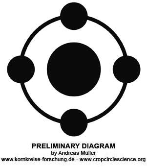
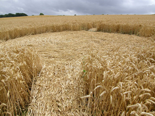
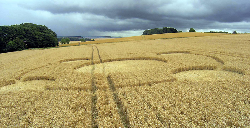
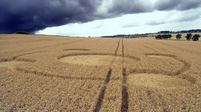
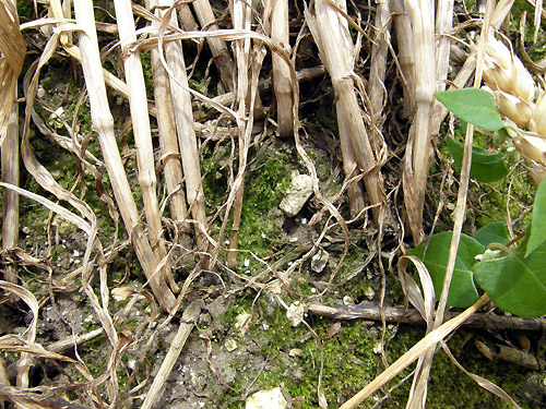
This lovely formation is barely visible from the
A4. It is in a field of wheat, and comprises a centre 16m circle,
with a surrounding ring at 32m which has 4 circles along it, each
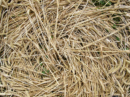
being 8m across. The lay is neat with most of the crop bent over at
the base of the stem. The formation measures 40m across.
Craig Neville |
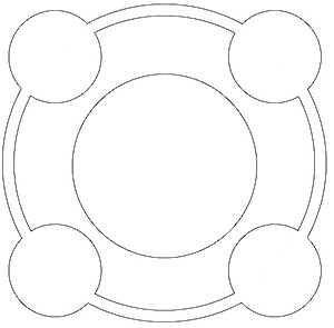
Diagram Craig Neville Copyright 2008
|
We visited one
of the formations near the gallops (A4/A361) which was a
100-110 diameter ring with a laid circle in the centre and
four very narrow spiralling arms leading from the edge of the
centre circle out to the outer ring. From the air, I imagine it
would be a much smaller four fold geometry similar to the one below Hackpen
Hill earlier this year, but with the centre and outer edge laid
down.
Ross Holcomb |
| AERIAL SHOTS |
GROUND SHOTS |
DIAGRAMS |
FIELD REPORTS |
ARTICLES |
|
|

BACK |

Mark Fussell & Stuart Dike |
|


