|
|
|
Cherhill (3), nr Calne, Wiltshire. Reported 7th
August.
Map Ref:
Updated Friday 15th August 2008 |
|
| AERIAL SHOTS |
GROUND SHOTS |
DIAGRAMS |
FIELD REPORTS |
ARTICLES |
Click on Thumbnails to enlarge
Images
Janet Ossebaard
Copyright
2007
|
Location: |
Cherhill above right of formation of
7/8/08 Cherhill above right +
also below first formation |
|
Map: |
|
|
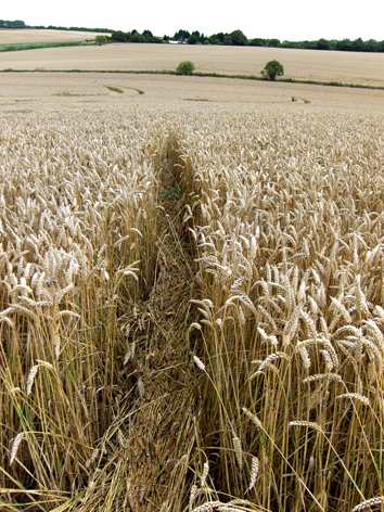
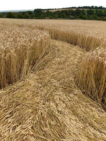
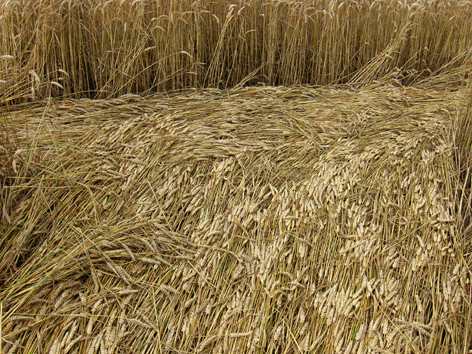
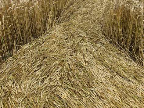
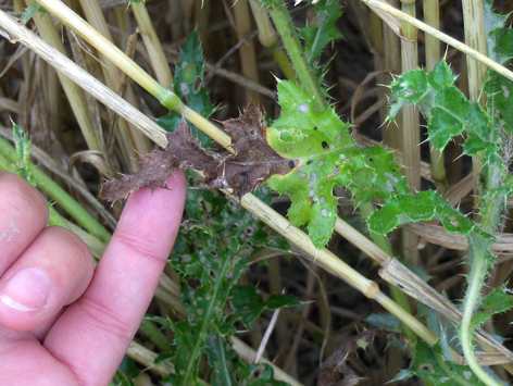
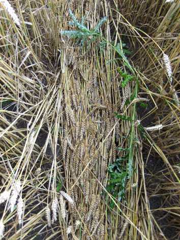
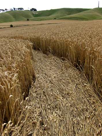
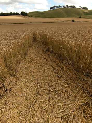
Crop: |
Wheat |
|
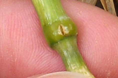
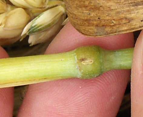
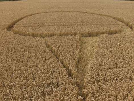
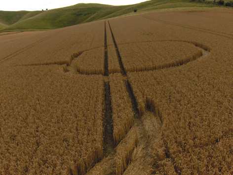
Description: |
Flattened outer circled, linked
flattened outline of triangle, bent rather sharply between nodes.
Top right s a flattened outer ring,
with a triangular outlined triangle. |
|
Discovery: |
12/08/08 |
|
Name: |
Jic Jane |
| Status: |
Waiting for photographic evidence |
|
 |