|
|
|
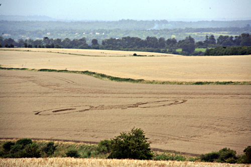
Cheesefoot Head, Nr Winchester, Hampshire. Reported 18th August.
Map Ref:
Updated Wednesday 15th October 2008 |
|
| AERIAL SHOTS |
GROUND SHOTS |
DIAGRAMS |
FIELD REPORTS |
ARTICLES |
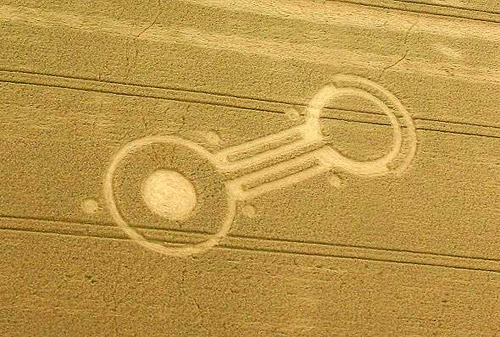
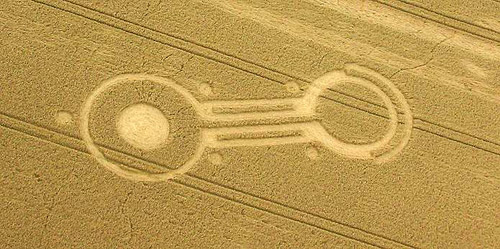
Images Russell Stannard Copyright 2008

http://www.kornkreise-forschung.de
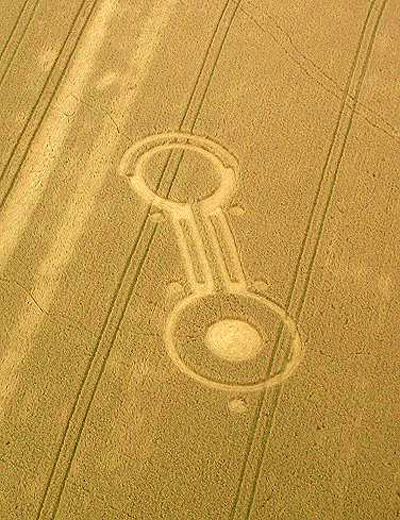
Images
Lucy
Pringle Copyright 2008
|

Diagram Ben Atwell Copyright 2008
|
Location: |
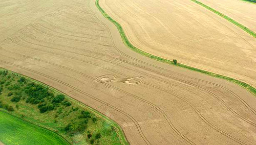
Field looking South from Cheesefoot
Head Car Park Nr Winchester. You can see it from the A272. |
|
Map: |
|
|
Crop: |
Wheat |
|
Description: |
A small pictogram, |
|
Discovery: |
18th August |
|
Name: |
Richard Parr |
|
Status: |
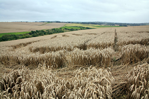
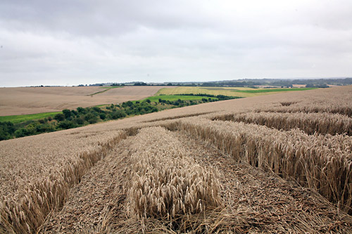
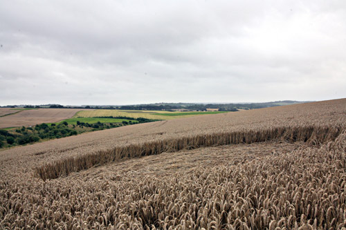
UPDATE:-
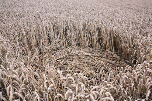
Sadly it was so overcast that these pictures are poor but at
least it confirms that a formation, however crudely constructed,
is there. As you can see from the ground pictures, it was on a
very steep oblique incline.
The top bits of the
dumbbell are about equal size even though I have not drawn the
as such. I have also put in the flow of the crop which was clock
wise through out. The stems were crushed.
Lucy Pringle |
COMMENTS
| AERIAL SHOTS |
GROUND SHOTS |
DIAGRAMS |
FIELD REPORTS |
ARTICLES |
|
|

BACK |

Mark Fussell & Stuart Dike |
|
 |