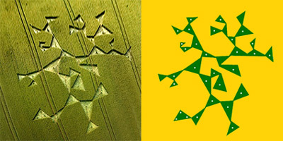
THE CHARLBURY
HILL CROP FORMATION
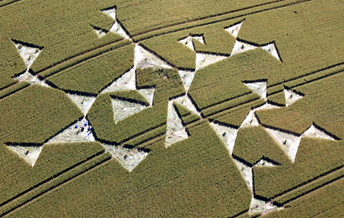
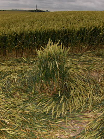
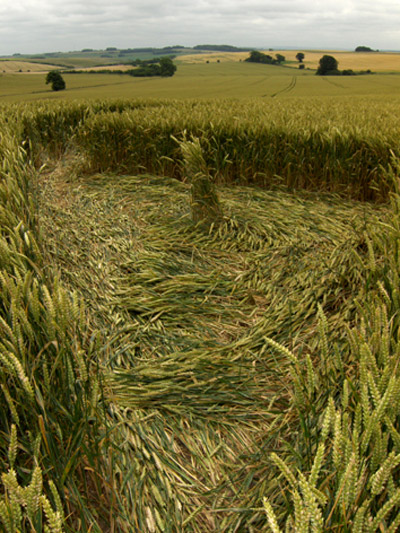
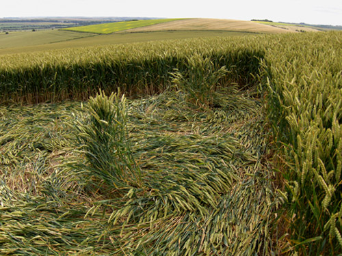
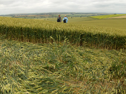
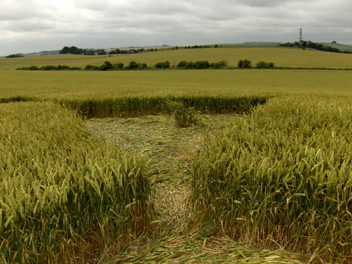
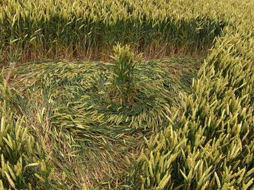
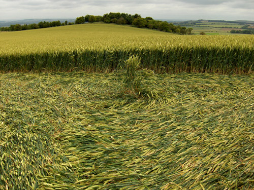
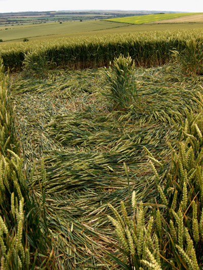
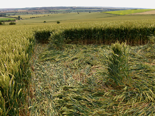
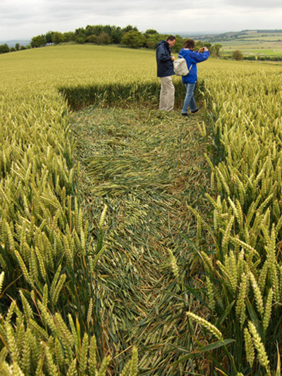
The Charlbury
Hill crop formation found on July 15th
closely resembles the illustrations I produced in a
paper called Isosceles Lattice in AD 2000 and some
of the illustrations found in my book "The Star
Mirror" published in 1998 (Thorsons).
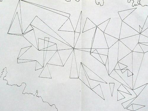
In this book I
describe how the topography of the planet appears to
be calculated (or designed) in a lattice work of
isosceles triangles. Any good topographical map can
be used to illustrate this. Marking each summit on a
topographical map these points can then be joined by
straight lines with their neighbours or near
neighbours to produce a remarkably accurate series
of isosceles triangles. These triangles share a
corner with a neighbouring isosceles triangle
producing patterns very similar to the pattern
described by the crop form on Charlbury Hill.
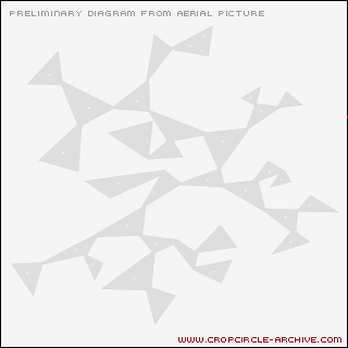
Illustration
no 1 shows all the summits on the island of St Lucia
forming an isosceles lattice.

Illustration 2
(published in "The Star Mirror") shows the highest
summits in Colorado producing a similar pattern.
Remarkably
similar patterns are produced when the same
procedure is adopted using the brightest stars in
the sky as geometric points. The isosceles
relationship between neighbouring bright stars is
not precise (the precise location of stars in
relation to each other being in permanent flux due
to their proper motion) nevertheless the isosceles
relationship is evident, and most pronounced in the
Orion and Auriga constellations.
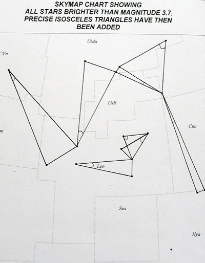
Illustration 3
The Leo constellation and surrounding bright stars.

Illustration 4
The Taurus constellation and surrounding bright
stars.
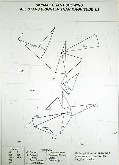
Illustration 4
The Orion and surrounding bright stars.
The summits
surrounding Charlbury Hill can be joined together to
produce an isosceles lattice similar to that
illustrated by the crop formation.