|
|
|
Toot Baldon, nr Southend, Oxfordshire. Reported 21st June.
Map Ref:
SP76011
Crop: Barley
Updated Monday 27th June 2005

|
|
|
|
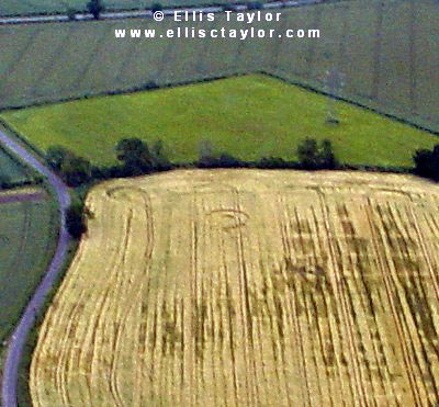
Pictures attached. I'm still away from the computer and
internet - had to put these photos on a floppy and send them from a
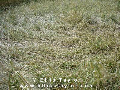
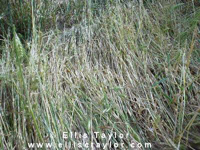
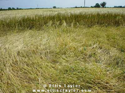
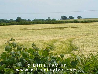
friend's. I flew over the formation this morning. Ground inspection reveals
that it has been down for quite a while and following Friday's severe
weather the design has deteriorated even more - quite interesting perhaps
that the crop around the design's location seems to have been much harder
hit. Man (or youth) agency I feel. Pretty, but I didn't get anything
special off it, but then it has been down a while. Geoff Ambler plans to
survey it as soon as possible.
Ellis Taylor |
All images Ellis Taylor Copyright 2005
| Location: |
Toot
Baldon, Oxfordshire |
| Map: |
SP576011 |
| Crop: |
Barley |
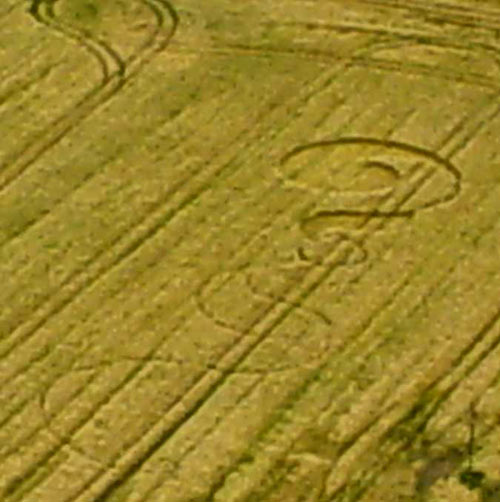
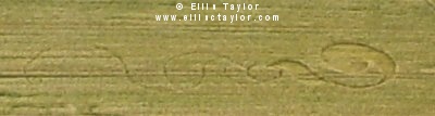
| Description: |
/w
circle curving out into various linking pathways. Partly visible
from Garsington hill side, looks some weeks old & in poor condition
on the ground, i.e alot of animal disturbance. Although impossible
to see from the adjacent road it's been well visited as I found
close to this on the verge a flattened area with obvious pathways
entering into this field. |
| Discovery: |
21/06/05 |
| Name: |
J.
Bellinger |
| Status: |
Waiting for field report |

Discuss this Crop Circle on the Forum
|
|
 |
