Field
report
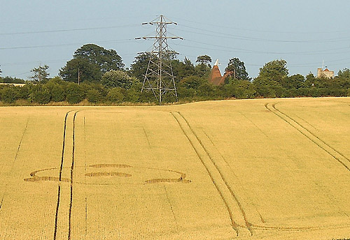
Image Graham Tucker Copyright 2005
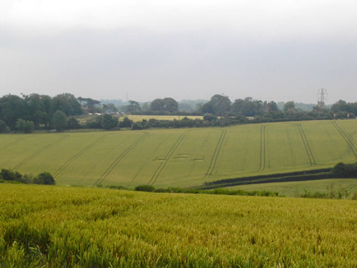
Nestling upon a hillside
that's part of the Cobham Valley, lies quite a small and simple
formation. Whilst it's only a mile away from Meopham railway station,
it's really just a stone's throw away from the tiny village of Nurstead.
It cannot be seen from the A227 (Istead to Wrotham road) but once you
make a turn off at Park Hill, you're deep in idyllic countryside and just
moments away from your first glimpse of the formation.
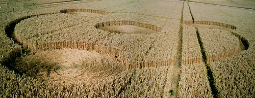
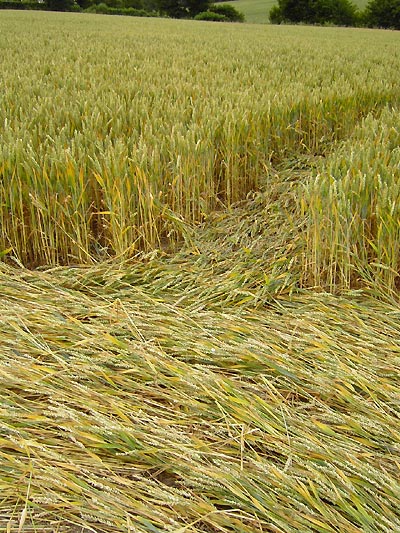
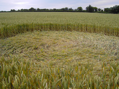
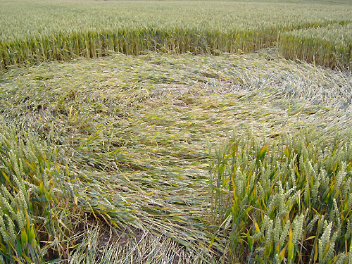
Judging by the only
tramline at the bottom of the field that leads you into the formation,
it's had quite a number of visitors. For here you can see the tell-tale
trampling of a lot of stalks, that often grow up between tramlines. It's
this evidence along with what's clearly seen in the photos, that suggests
that the circle might just be a few days older than its reported date ...
And of course, we're also dealing with a formation that in some ways is a
little bit off the beaten track.
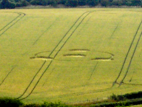
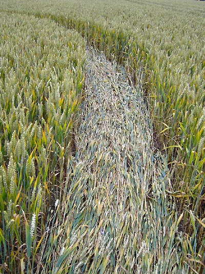
Certainly by Kent's more
recent standards the formation is quite small. Apparently the circles are
all approx. 20 feet across, whilst the circular pathway that appears to
link three of them together is said to be approx. 3 feet wide. Every part
of the downed crop is swept anti-clockwise, and from the given
measurements it would appear that the formation is around 70 to 80 feet
across overall.
The formation lays upon a
hillside that long before it was set aside for wheat growing, was
probably terraced by the Romans for wine production. Many Roman remains
and artefacts have been found locally, and further along this particular
valley at Istead we've had a couple of formations in the past that have
appeared to honour them...Most notably, "The Star of Istead"...one of the
finest formations to have ever appeared in Kent (Istead Rise, 29th July
2000)
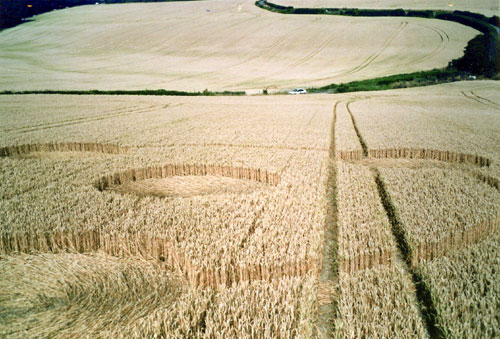
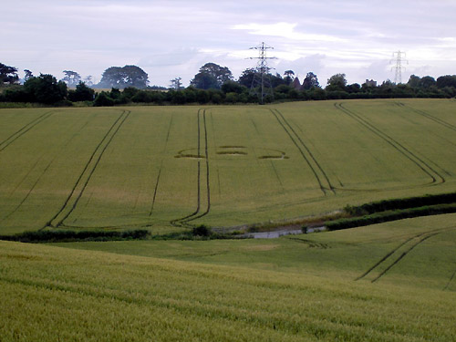
The nearby village of
Nurstead has been acknowledged it seems for good reason. The 14th century
church of St. Mildred (a somewhat unusual saint!) can be seen in the
background of my photo towards the far right. But more importantly,
opposite this church is Nurstead Court, which just happens to be one of
the most famous and important medieval houses in England. Much of it
dates back a lot further though, for it's well over a 1000 years old and
it was originally a Saxon Manor before the conquest.
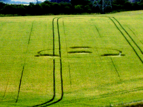
It's been occupied by
the same family since 1567, and the present owners are the 14th
generation of the family to have lived there. The family run the
surrounding agricultural land as a working farm. It's their hope that
they can preserve the charm of the whole place, and by so doing,
guarantee the future of the estate for many generations to come.
|