Image Russell Stannard Copyright 2004
Images Matt Copyright 2004
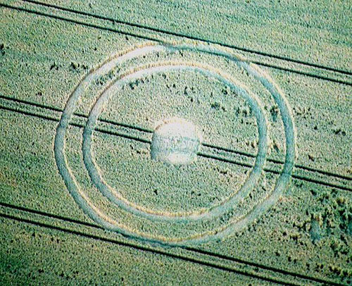
With reference to the rumour of the circle near
Meppershall, I am now able to upload some simple pictures. It
strikes me as being of the same design as the symbol used by the
RAF, which is interesting if you note the location of RAF Henlow and
the Intelligence centre at Chicksands. The centre circle is approx
20 feet in diameter, with a tuft of standing crop in the centre, out
from that is about 18 feet of standing crop then a laid ring of 4 ft
width, another 8 feet of untouched wheat then another ring around
the formation same width as before. A very calm formation,
beautifully done and very precise.
Matt
|

Discuss this Crop Circle on the Forum
| Status: |
|
| Location: |
Confirmation of the one
on the Shillington to Meppershal road |
| Map: |
as in rumour |
| Crop: |
wheat |
| Description: |
.simple concentric
circles around a central circle |
| Discovery: |
Alwyne Richards
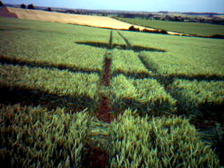
The simple ring formation near
Meppershall is hard to spot from the road but it does appear to be
a simple double concentric ring with a smaller
centre-unfortunately it isn't visible on the picture I took-I'll
see if I can find it tomorrow-it's about 3 miles from the other
one
|
| Name: |
|
| Status: |
|
| Location: |
Heading up Shillington
rd, toward Meppershall, Beds looking NNW approx 1/2 mile on hillside |
| Map: |
TL 130 352 |
| Crop: |
Wheat |
| Description: |
A central circle approx
20 ft diameter. with standing tuft in centre surrounded by two
rings. |
| Discovery: |
07/07/2004 |
| Name: |
Matthew |
| Status: |
|
|
