|
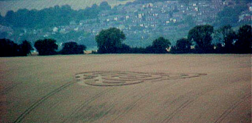
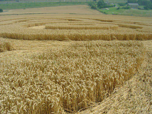
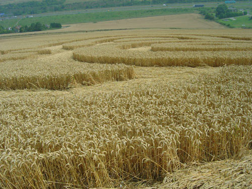
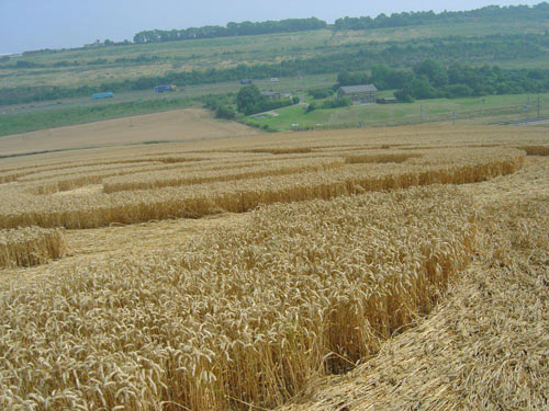
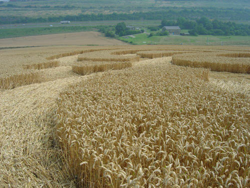
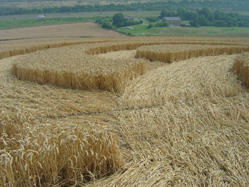
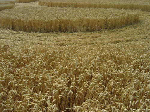
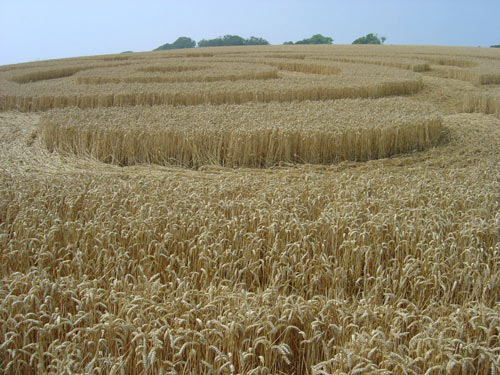
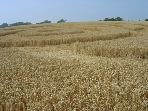
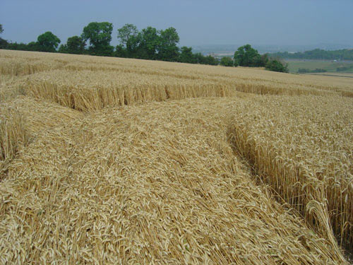
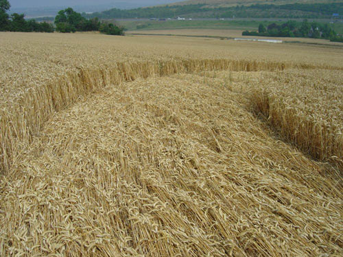
Kent is once again on the receiving end of a 200 ft
approx. formation in mature wheat. Placed in a field which borders on an
ancient track way now known as the North Down Way, and very close to a
tumulus that's hidden within the surrounding copse.
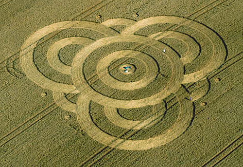
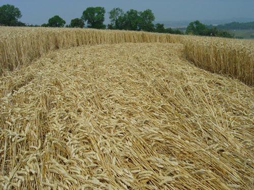
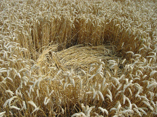
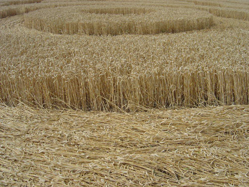
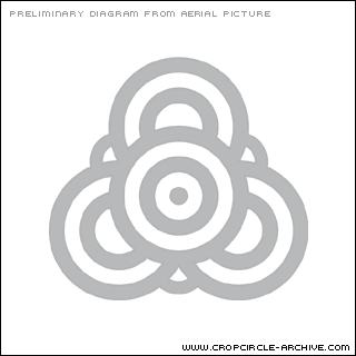
It consists of a number of sweeping paths and
crescents appearing to form a trefoil shape. Light was fading fast, so
digital images are not too clear. Hopefully we can follow up with some
better ones.
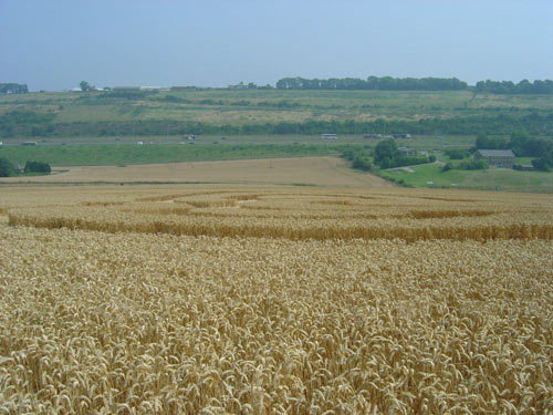
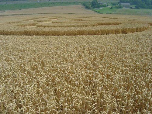
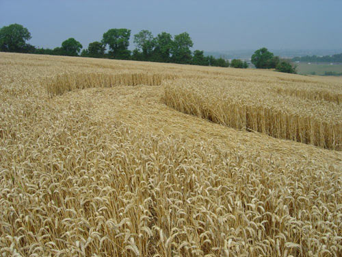
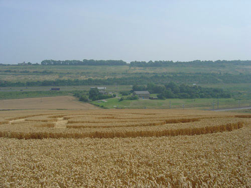
A good view may be obtained from the M2, just after
crossing the Medway bridge heading coast-bound (RHS). The formation is
almost directly opposite the Water Board pumping station at Wouldham,
separated by the new Channel Tunnel rail link. We spoke to a guy who
lives within these confines and he said it wasn't there the previous
evening but to his surprise it was at 4.30 am (31st July). His friends
were camping overnight in a caravan very close to the field & they didn't
hear or see a thing!
We are grateful to the micro light pilot from
Rochester Airport who alerted us to this formation.
Do not enter the field
without the farmer's permission.
Graham Tucker |