Image Nick Nicholson and the Crop Circle Connector Copyright
2003
Video Image Russell Stannard Copyright 2003
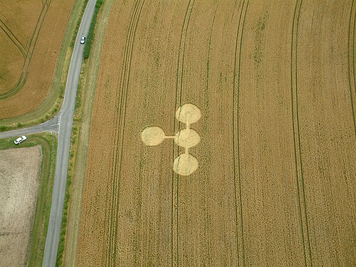
There is a new formation by the West Overton T junction on the East
Kennet to West Woods road, map reference SU126667. The crop is wheat
and it appeared
22/7/03. I have attached an image taken from the top of Wyman's Hill.