|
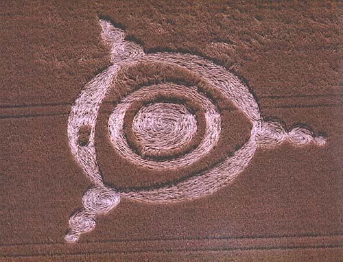
I have to inform you that a crop circle has been discovered in the
Liss area. It is in
Barley and in a field which is very close to where other formations
have appeared in the past. Could this be a new 'Hot spot'.
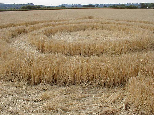
I'm not sure how long it will be before the farmer cuts his crop but
it does look very
golden.
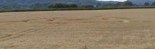
The formation is just off the A3 (Liss junction) on the junction with
Andlers ash road (which heads in towards the village of Liss).
The field is the A3 side of the railway line and to the south of the
sewage works. In fact if you go up the small road towards the sewage
works which is on the left after entering Andlers ash road then you
would be driving alongside the field in question.
Will you be flying this way soon as it would be of interest to see the
aerial photo as I said before three have appeared within the last two
years in a very small area near the sewage works and railway.
Reported by R. Harrison
Location: Liss, Hampshire on the junction of the A3 with Andlers Ash road,
newt to the river Rother and the sewage works
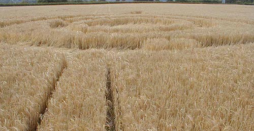
Crop: Barley
Description: not sure at all not very easy to see from the road
Discovery: 1.7.02
Name: Roy Bell
|