Wakeley, nr Corby, Northampton. Reported 13th June.
GPS Reference SP9550098770
Updated Wednesday 19th October 2005
|
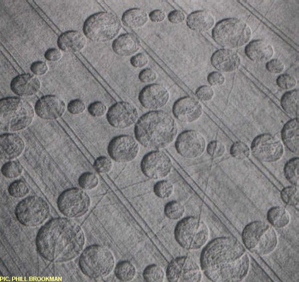
Images Phil Brookman Copyright 2000 The menu functions are disabled on the right mouse click. The EMCCCS have spent a great deal of flying time and money obtaining these aerial shots, while they are not first class, they are the only ones. Our group has to recoup our outlay, so images may be obtained through The Circular Review at its address on the home page, we do regret having to do this but no-one else was prepared to even look at the Northampton area which really is a way out for us. Thank you to the Crop Circle Connector for donating a small amount to cover the flying costs.
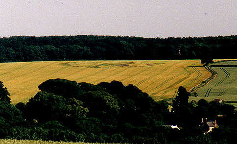
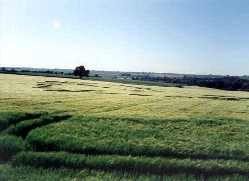
This a report for Wakerley (A47)as of Tuesday210600 On Sunday we as a group had a meeting and decided to look at some formations about thirty miles away.
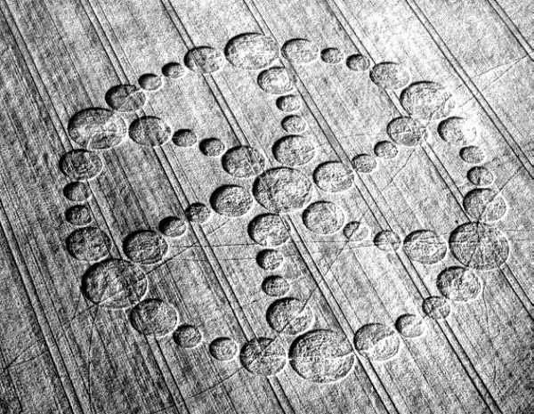
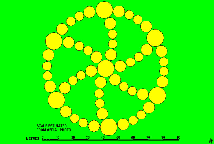
Image Mark Haywood Copyright 2000 This is a fairly old formation at least three weeks maybe more and is in Barley. From the A47 it could readily be seen about a mile South of the road and in a field immediately West of Wakerley Church. It is a large formation covering over five tractor lines. From the A47 it looked to have six curved spokes made up of circles within a ring also made of circles. (see enclosed image of visible segment of formation) We could not gain a good vantage point and the formation itself sits in a shallow dip in the field, so it is easily obscured if you are close. Crop Barley. Report by
Location : Wakerley. East of Leicester
Ordnance survey grid reference : SP 9550 9877
First seen : June 13 2000
Courtesy of
Steve Pyrah
|