|
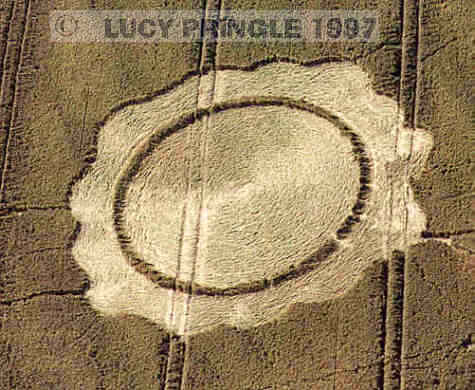
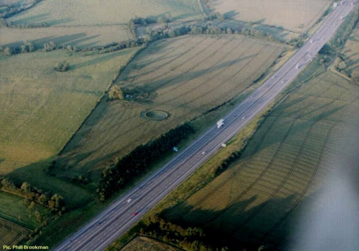
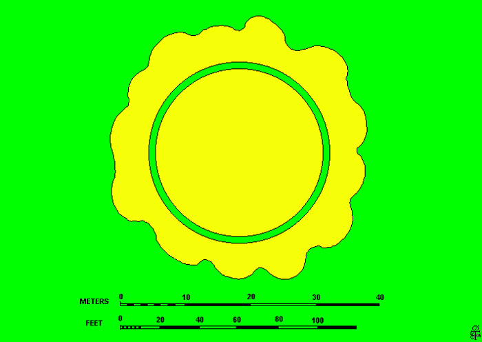
An aerial shot by Lucy Pringle. Copyright 1997. For Cosford you will need an Ordnance Survey map. From the Landranger series, it looks very much like a collection of about five houses.. The formation itself is on the north side of the M6 about 1/2 mile west. It is on the side of a hill and clearly visible from the motorway when travelling towards Birmingham. I did have a map reference, but having seen the location of the formation I suspect that it is wrong so I will go again from a map. 40m (approx.) circle with fat ring around. Very visible from junction 1 slip road and looks well laid. The formation is not visible from surrounding landscape. The farmer is not allowing access to the site and most public footpaths are either overgrown (!!) or unmarked on the ground(!!!). Possible M.O.D. land around field?? Photograph from motorway to follow. Report by Anthony Harding
Location : Cosford. South of Leicester
Ordnance survey grid reference : SP 49948 79587
First seen : 21 June 1997 .
Crop : Green Wheat.
Courtesy of
Steve Pyrah
|