Updated Wednesday 19th October 2005
Ordnance survey grid reference : SP59759710
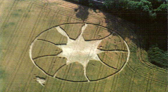
An aerial shot by Nick Nicholson. The Circular Review. Copyright 1996.
|
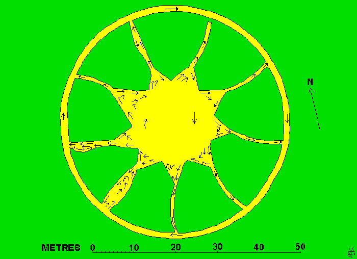
Click on thumbnails to enlarge Images by Michael Newark. Copyright 1996. It was a nine pointed star design. The ring is 3 feet and the formation's diameter is 216 x 213 feet. A full report is featured in the Circular Review. Reported by Steve Pyrah.
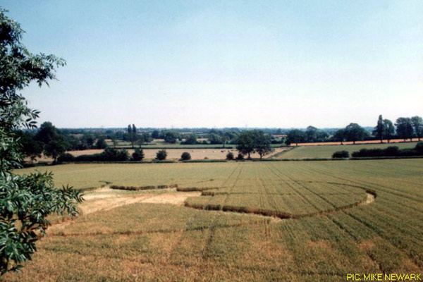
Location : South Wigston. South-east of Leicester
Ordnance survey grid reference : Sp 5975 9710
First seen : 15 July 1996
Crop : Wheat.
Courtesy of
Steve Pyrah
|